How Drones and Students are Paving the Future of Road Repair

Kaitlyn Koo
City of Fremont Intern
Look! Up in the sky! It’s a bird!
It’s a plane!
It’s a drone!
Well, technically it’s a DJI Mavic Pro, but not to worry, it’s not there to spy on you or drop off your Amazon package. This summer, my partner, Haojin Chen, and I took a school project out of the classroom and into the skies of Fremont. And while the words “Paid Internship” did catch our interest, we also were inspired by the opportunity to make our city better.
Last semester, Haojin and I were seniors in Ms. Berbawy’s Principles of Engineering (POE) class at Irvington High School. While we were hard at work on our Maker Faire projects and studying course materials, Ms. Berbawy introduced a new challenge to our class: how might we use drones to solve challenges faced by the Fremont Fire Department and Public Works Departments? Created by Chief Architect and Founder of PilotCity Derick Lee and Fremont’s FUSE Corps Executive Fellow Parker Thomas, our assignment was to prototype a smart city drone solution to a civic challenge using a DJI drone, the world’s largest manufacturer of commercial and recreational drones.
One of the Public Works Department’s proposed challenges was finding a way to inspect and evaluate roads quantitatively and remotely. Haojin and I tackled this problem by programming autonomous drone flights over a street that runs behind our school, then using photogrammetry software to stitch these images into a map. We chose this software because photogrammetry, the science of making measurements and recovering exact positions from photographs, would give us the ability to find measurements of cracks in the pavement on our maps.
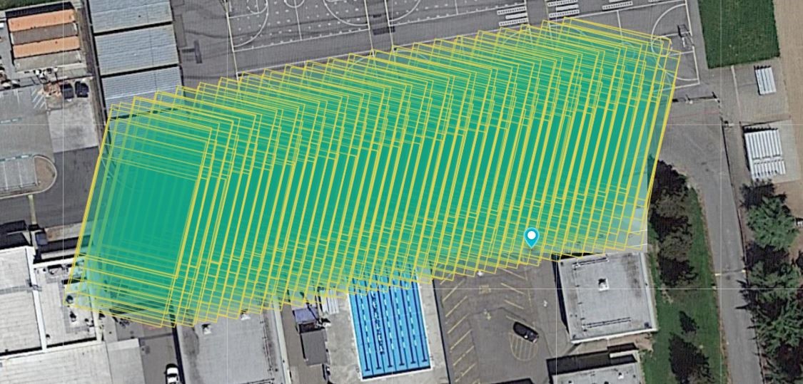
Sample maps of the road behind school buildings.
At the end of the school year, Haojin and I presented our project to Derick Lee, Parker Thomas, Brandon Montellato of DJI, and Battalion Commander Jeff Kleven of the Fremont Fire Department. We showed some examples of the school roadmaps we created as well as a comparison of the two photogrammetry software products we used, DroneDeploy and Autodesk Recap. As a result of our presentation and subsequent interviews, we were invited to continue our work over the summer. Almost a month after school ended, Haojin and I were back to work on our project, starting with scheduling meetings with the Public Works Department.
We learned that when a section of road needs replacing, Public Works sends engineers to inspect the road by marking up pavement repair zones, water valves, USD manhole locations, etc., on a printed map from Google Satellite images. Our goal was to save Public Works’ time out in the field making measurements to speed up the repair process. Our deliverables would include maps of road sections they could compare with their own drawings and a detailed report of how to program drone flights.
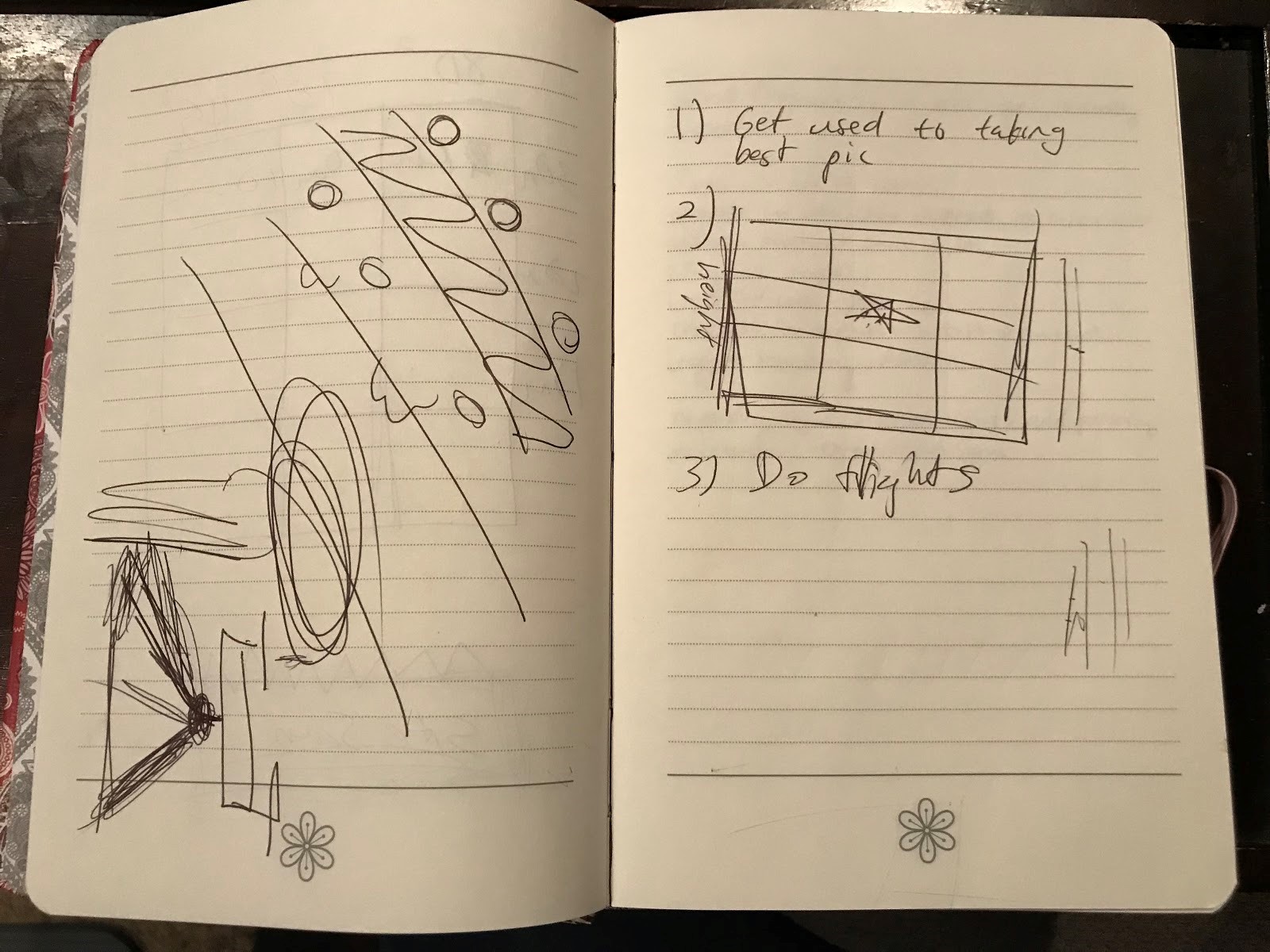
Notes from a few of our meetings.
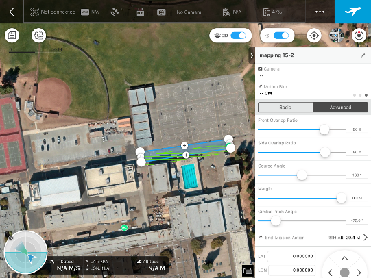
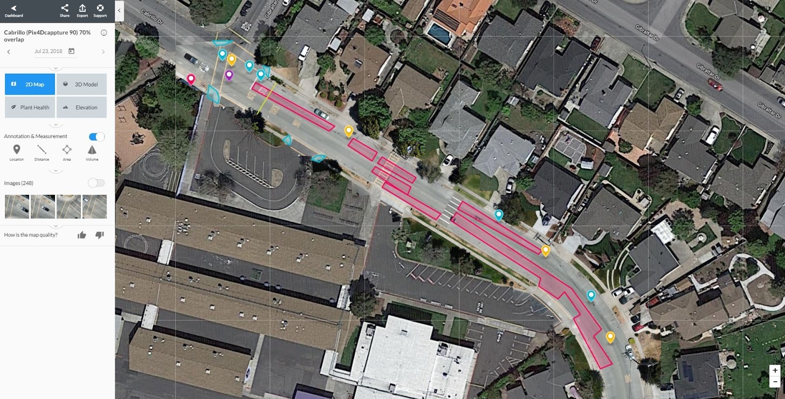
Haojin and I started by testing the drone over Cabrillo Dr. from Gibraltar Ave. to Nicolet Ave. This stretch of road is 0.4 miles — a lot longer than the small portion of road we had been flying over at Irvington High School. Originally we used DJI GS Pro to program our flights, but it required us to split this road into three sections in separate flights. To combat this obstacle, Haojin found the Pix4Dcapture app to program the entire flight and stitch the images together.
After finalizing how we would adjust overlap, course angle settings, etc., that would bring out the best images on Cabrillo Dr., we moved on to the stretch of road that covered Deep Creek Rd. from Falstaff Rd. to Ariel Rd. For this section, we experimented with camera angles that would capture road signs and create an inventory for Public Works.
In the end, we generated maps with annotations similar to their engineering drawings that included a lot of their pavement defect wish-list items, including slopes of streets and manhole covers.
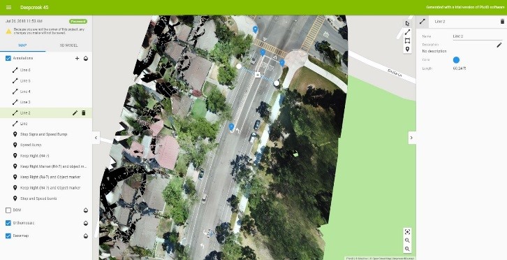
DroneDeploy 2D model
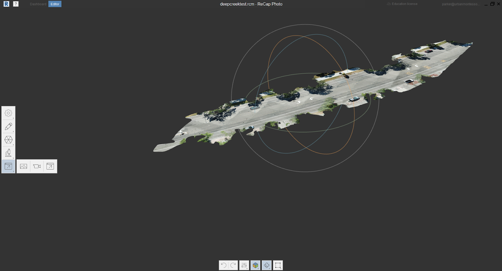
Autodesk Recap 3D model of Deep Creek Rd.
Pix4Dmapper 2D model of Deep Creek Rd.
After our final presentation, I realized that school is made up of rubrics and expectations with an end product that many students have already completed before you. This internship taught me how different the working world is — if you have an idea and create a pilot project, there are no pre-set expectations. Instead, you have to discover them for yourself, which I found both unnerving and exhilarating. Overall, this experience has not only been fun and rewarding, but it kept Haojin and me very productive this summer. As with any internship, we gained a valuable learning experience, except this time it was through innovating our city government.